Discovering Walkability in Columbia: A Deep Dive into Elmwood Park
Columbia, a vibrant city that’s full of life, brings with it the age-old question: just how walkable are its neighborhoods? Whether you’re in the market for a new home or simply trying to explore a budding area, understanding walkability can make a world of difference.
The New Tool for Walkability
Enter Close, an interactive map that’s turning heads with its simplicity and efficiency. This nifty tool allows residents and visitors alike to discover whether they can saunter to nearby hot spots like supermarkets, parks, coffee shops, schools, and much more—all while showing how long those strolls will take. Curious about how it works? Let’s take a closer look!
A Closer Look at Elmwood Park
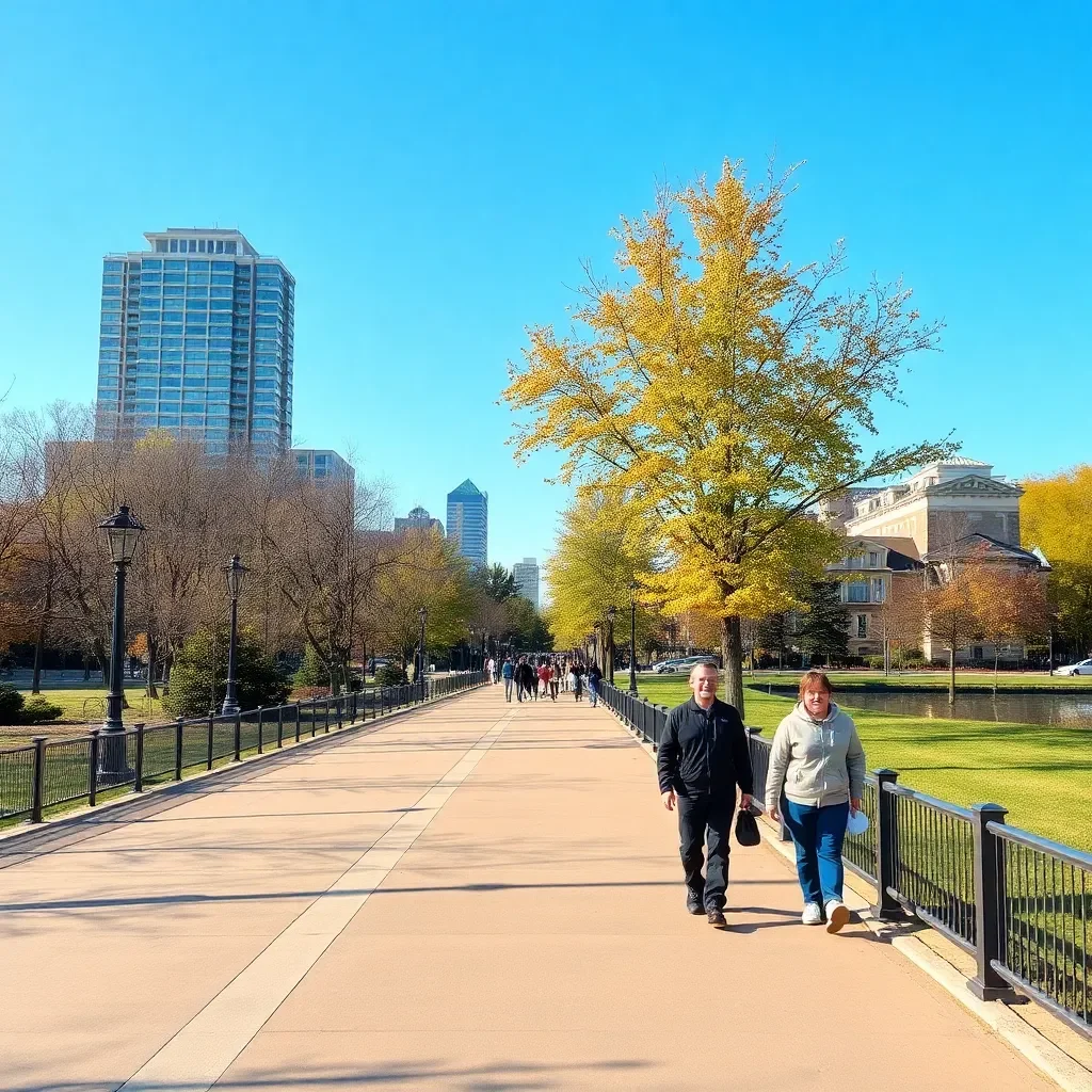
For our adventure, we took a stroll down a specific block of Elmwood Park nestled between Price Avenue and Bryan Street. It’s a cozy area with lots to offer, but just how convenient is it for those on foot?
After selecting this particular block in the Close map, it lights up in a bright yellow outline—making it easy to see what’s around. You can also pick your desired destinations by clicking on various options at the bottom left, making it a tailored experience for each user.
What’s Nearby?
Once we focused on our target area, we investigated five key destinations: supermarket, parks, coffee shops, schools, and public transit stops. Let’s dive into some intriguing details!
- Supermarkets: When hunger strikes or you need to restock your pantry, having a supermarket nearby is essential. A quick check revealed that a major grocery store is just a short, leisurely walk away!
- Parks: Looking to soak up some sunshine or let the kids play? Elmwood Park doesn’t disappoint! Several parks are accessible within minutes, making it a green haven for families.
- Coffee Shops: For caffeine aficionados, walking a few blocks lands you at cozy coffee shops where you can sip on your favorite brew and catch up with friends.
- Schools: For families with kids, knowing that schools are nearby provides peace of mind, and Elmwood Park boasts convenient access to educational institutions for little ones.
- Public Transit: If you ever need a quick ride to another part of the city, worry not! Several public transit stops are within walking distance, making commuting a breeze.
How to Use the Map Yourself
Want to check out the walkability of your desired neighborhood? It’s as easy as pie! First, decide which type of destination is most important to you. After that, enter the city name and zoom in on specific areas or neighborhoods of interest. With just a click, you can select a particular block to see all kinds of useful information pop up in the corner of your screen!
And if you’re feeling adventurous, the map also has options for public transit distances—perfect for figuring out your commuting needs.
Explore More of Columbia
If you’re looking to get to know Columbia even better, check out articles that connect various neighborhoods with fun themes, like which signs align with your local streets or intriguing tales behind the names of those streets. Knowledge is power, after all!
The Final Takeaway
Walkability is a significant aspect of enjoying life in Columbia, especially in charming neighborhoods like Elmwood Park. So, whether you’re moving here or just visiting, the Close map offers fantastic insights into what your new blocks might hold. So lace up those shoes, step outside, and start exploring your surroundings!


