Storm Alert in Batesburg-Leesville: Thunderstorms Bring Wind and Hail
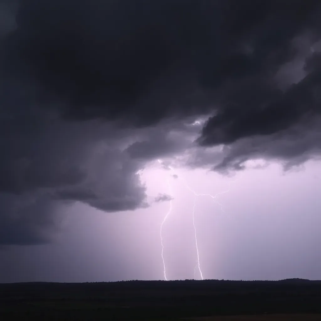
Hey there, Batesburg-Leesville! As the evening rolls in, we’ve got some weather news that you need to be aware of. According to a recent report from the National Weather Service (NWS), a strong thunderstorm is bearing down on our area, with the potential to cause a bit of chaos until about 9:30 p.m. tonight. So grab your umbrella and hang tight!
What to Expect Tonight
At 8:43 p.m., Doppler radar clocked a mighty thunderstorm making its way towards us, moving east at a brisk speed of 25 mph. This storm packs a punch with predictions of wind gusts reaching up to 50 mph and hail the size of marbles (that’s about 0.5 inches in diameter). Yikes!
For those living in or around areas like Red Bank, Pelion, Gilbert, Summit, Camp Kinard, Kneece, Samaria Fire Station, and Cedar Pond Campground, you might want to take the NWS’s advice seriously—unsecured objects could go flying, and minor damage to outdoor items is definitely a possibility. And let’s not forget about our travel plans; the storm area also includes Interstate 20 between mile markers 37 and 52.
Stay Safe, Everyone!
With the storm approaching, the NWS strongly recommends that if you’re outdoors, you should seek shelter inside a building as soon as possible. Believe it or not, lightning strikes the U.S. about 25 million times each year, and much of that happens during thunderstorms, claiming around 20 lives annually. So, it’s not just the wind and hail you need to worry about; pay attention to the lightning too!
Understanding Hydroplaning
But wait, there’s more! With the heavy rain typically accompanying these storms, it’s vital to know about hydroplaning. This happens when your vehicle starts sliding out of control on wet roads. It’s caused by a build-up of water in front of your tires that your vehicle can’t push out of the way fast enough, making your car ride on a thin layer of water—yikes!
Here are the three major factors that contribute to hydroplaning:
- Water depth on the road
- Tire tread wear
- Speed at which you are driving
If you ever find yourself hydroplaning, remember these quick tips: don’t panic, take your foot off the gas, steer straight, and avoid sudden movements. Keep calm—your safety is the priority!
In Conclusion
So, Batesburg-Leesville friends, as the storm rolls in, make sure you’re staying cozy and safe indoors and keep those outdoor items secure! The NWS alert runs until 9:30 p.m., which means we’ve still got a little while to go before things clear up. Stay tuned and stay safe!
As always, keeping an eye on the weather can make all the difference, and it’s better to be safe than sorry when Mother Nature decides to throw a tantrum!


