News Summary
Columbia, South Carolina faced severe weather on Sunday morning, with tornado and thunderstorm warnings issued by the National Weather Service. While minor damages were reported, residents remained on alert due to the potential for further storms. Two tornadoes were confirmed, marking the first of the year in South Carolina, but fortunately, no injuries occurred. As the weather develops, a mix of rain and warm conditions are expected to follow.
Severe Thunderstorm and Tornado Warnings Rock Columbia, South Carolina
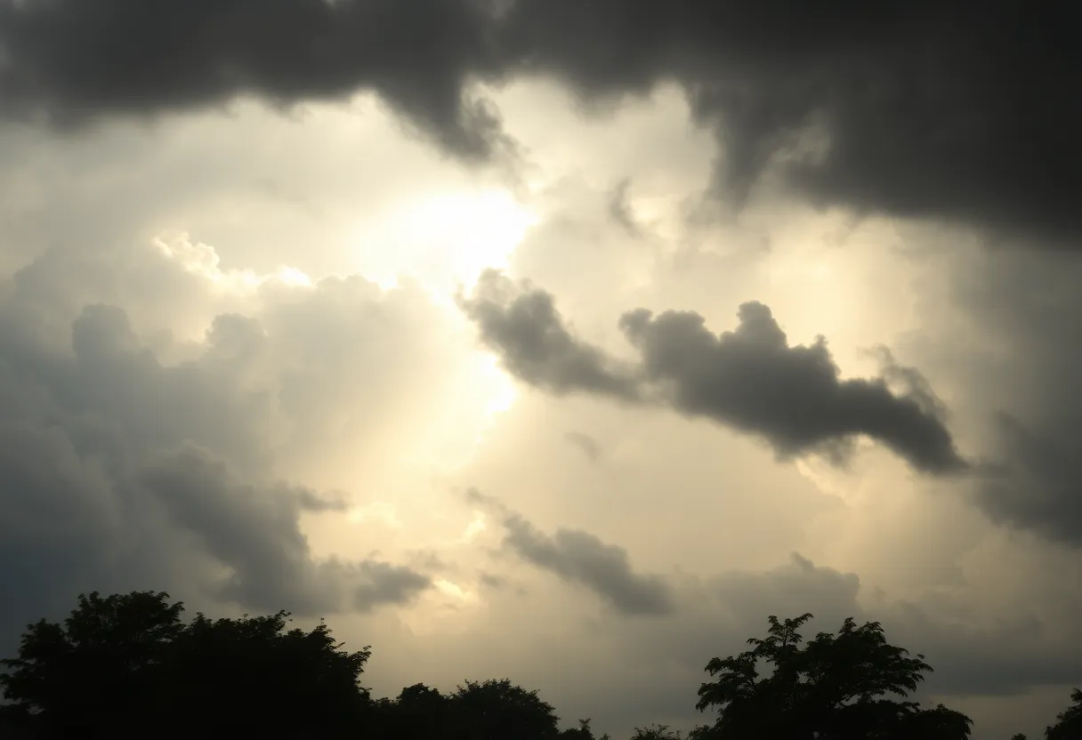
Columbia, South Carolina, woke up to an eventful Sunday morning as the National Weather Service issued both severe thunderstorm and tornado warnings for the area. Residents were kept on their toes while nature unleashed its fury with some *minor damage* reported across the city.
Watches and Warnings
The tornado warning was effective until 8:15 a.m., just as the severe thunderstorm warning expired at 8:30 a.m. Even after the warnings officially wrapped up, the fear of severe weather wasn’t quite over yet. Residents in Columbia were cautioned to remain alert, as more storms could be brewing in the Midlands right through Sunday afternoon. A tornado watch held strong till 2 p.m. for Richland and Lexington counties, as well as several other nearby areas.
Storm Activity
During the storm, a tornado was actually spotted at Dreher Island zipping across Lake Murray toward the dam at approximately 7:43 a.m. With winds in Columbia possibly reaching up to a staggering 60 mph, the atmosphere felt intense, to say the least. The National Weather Service even warned of the potential for localized flash flooding and gusty winds.
Damage and Disruptions
While several severe thunderstorm warnings painted a grim picture, the good news is that no major damage was reported from the early morning storms. However, residents were reminded that potential tornadoes and severe winds could still lead to significant chaos—think downed trees, damaged roofs, and perhaps some unlucky mobile homes.
The storm’s aftermath saw some trees toppled, resulting in downed power lines and brief outages in certain areas. Those venturing out on Lake Murray even faced a lake wind advisory until 8 p.m., warning boaters about winds of 25 mph coupled with gusts reaching up to 40 mph, making for hazardous conditions.
What to Expect Next
As Columbia looked ahead, a hefty 90% chance of rain loomed over the city with expected precipitation reaching up to half an inch or more. Hold onto your hats, folks, because after the rain clears, sunny skies and warm weather should grace Columbia for the next few days. By Wednesday, we’re talking highs nearing a delightful 78 degrees!
Cooler Days Ahead
Don’t get too cozy just yet, though. The forecast indicates cooler and drier air moving into the area on Monday. With highs in the low to mid-60s and lows dipping into the 30s, it seems like a cozy sweater might be an excellent idea!
Two Tornadoes Confirmed
After the storm activity, the National Weather Service confirmed two tornado touchdowns during the morning. An EF1 tornado made its mark in Lexington County between 7:38 a.m. and 7:48 a.m., traveling over 5.8 miles with some tree damage reported in the Chapin-Lake Murray vicinity. Meanwhile, an EF0 tornado was documented in Barnwell County, which lasted just two minutes and uprooted a few large pine trees.
Excitingly, both tornadoes marked the first of the year in South Carolina, and in a stroke of luck, no injuries were reported from either event.
Conclusion
With the Midland facing ever-changing weather, residents are encouraged to stay alert and monitor updates. Columbia’s weather may be giving us quite the rollercoaster ride now, but we’ll be back to sunshine before we know it!
Deeper Dive: News & Info About This Topic
- The State – Severe Weather Alert
- Wikipedia: Tornado
- Weather.com – Columbia, MO Weather
- Google Search: Tornado Warnings Columbia SC
- WLTX – Tornado Watch in Effect
- Encyclopedia Britannica: Severe Weather
- Columbia Missourian – Storm Damage Response
- Google News: Storm Damage Columbia SC
- Weather and Radar – Tornado Touchdown Near Columbia
- Encyclopedia Britannica: Tornado
- WLTX – Lake Murray Tornado EF1 Damage
- Google Scholar: Tornado Watch Columbia SC