News Summary
A Severe Thunderstorm Warning has been issued for several counties in South Carolina, including Newberry, Fairfield, and Lexington, due to dangerous thunderstorms detected by Doppler radar. Residents are advised to take shelter and prepare for wind gusts up to 50 mph and heavy rainfall, particularly along major interstates. Additionally, experts warn of possible tornado warnings, urging safety precautions as severe weather conditions are expected to continue this week.
Severe Thunderstorm Warning Hits South Carolina
Attention, folks in South Carolina! There’s some serious weather brewing in the area that you need to keep an eye on. Just a short while ago, at around 3:59 a.m. this Wednesday, the National Weather Service issued a Severe Thunderstorm Warning that is expected to last until about 4:45 a.m. If you live in or around Newberry, Fairfield, Saluda, Lexington, or Richland counties, you’ll want to read on!
What You Need to Know
The announcement came as a result of dangerous thunderstorms spotted by Doppler radar that are making their way through the region. One particularly strong storm was detected near Dreher Island State Park, which is about 12 miles south of Newberry, and it’s moving east at a brisk pace of 45 mph!
Now, one of the biggest concerns with these storms is the potential for robust wind gusts, possibly reaching up to an alarming 50 mph. If you have outdoor furniture, flags, or any loose objects sitting around, you might want to consider bringing them inside. The last thing anyone needs is to see their patio chair take off like a runaway kite!
Who’s Affected?
Buckle your seatbelts, because several locations are in the path of this severe weather. Residents of Columbia, Lexington, West Columbia, Irmo, St. Andrews, and several others are on the list of areas that could witness high winds and heavy rain. Plus, if you’re traveling, be cautious on the highways! The warning stretches to:
- Interstate 126 between mile markers 0 and 3
- Interstate 20 in South Carolina between mile markers 59 and 70
- Interstate 26 between mile markers 84 and 110
Safety Precautions
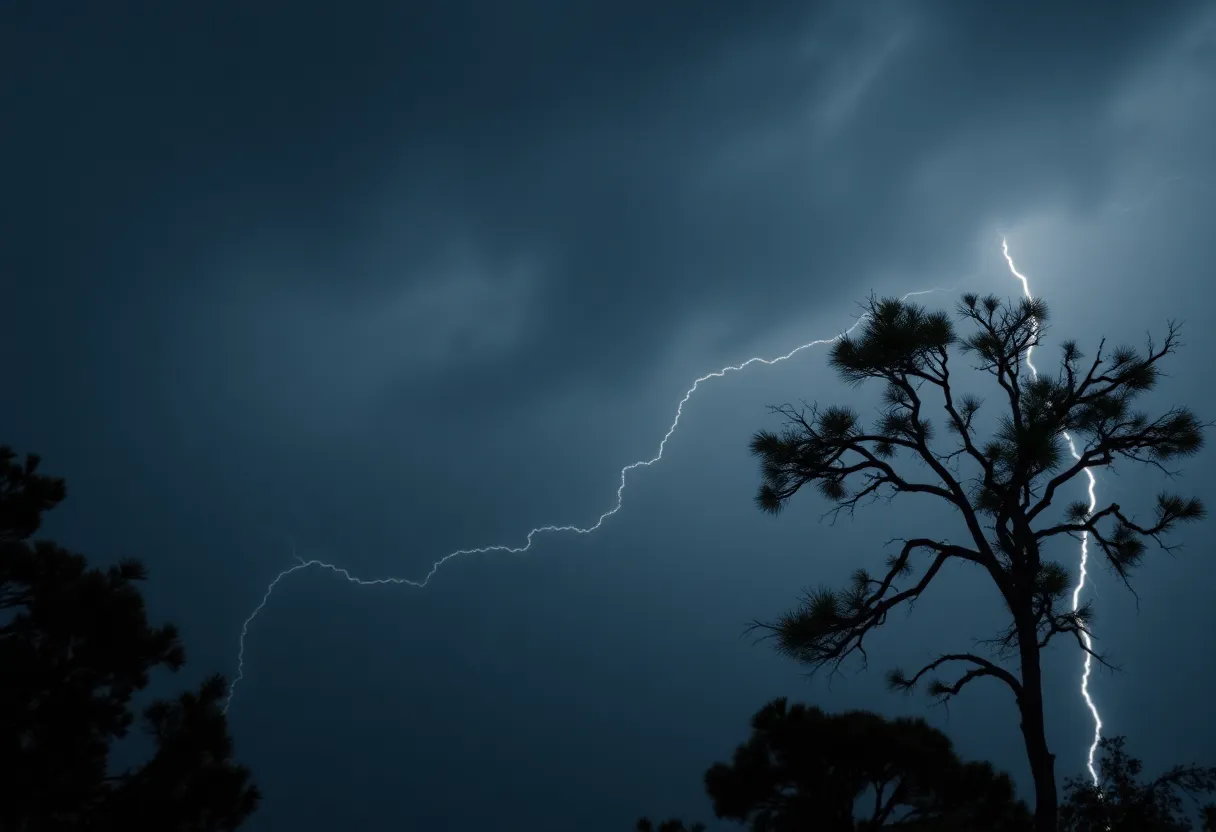
Remember, folks, safety is a priority! If you’re outdoors when these storms hit, the best advice is to find shelter inside a sturdy building. Storms can bring not just wind but also lightning, which can pose a serious danger. Did you know that lightning strikes the U.S. about 25 million times each year? Most of those strikes happen during summer storms, leading to around 20 fatalities annually. Stay safe and keep indoors!
A Broader Weather Trend
This severe thunderstorm warning is just the beginning. Weather experts are monitoring the area for potentially severe storms and even possibilities of tornado warnings. As part of this weather trend, additional storms, with wind gusts potentially exceeding 60 mph and heavy rain, are set to affect different regions of South Carolina later this week.
Mark your calendars! The storm system is expected to roll in after 9:00 p.m. on Saturday, moving eastward through the state until the early hours of Sunday morning. So, make sure to prepare for possible disruptions and flash flooding.
Driving Precautions
For those who will be on the roads, keep your wits about you as well. Be extra cautious, particularly during heavy rainfall which can lead to hydroplaning. Hydroplaning occurs when water builds up in front of your tires, causing your vehicle to slide uncontrollably. Watch your speed, keep your tires in check, and remain alert!
Final Thoughts
As the weather unfolds, stay informed and updated about any changes in the forecast. Keeping your loved ones safe is what it’s all about. Don’t let those storm clouds dampen your spirit—stay safe, be smart, and look out for each other during this turbulent weather!
Deeper Dive: News & Info About This Topic
HERE Resources
Brush Fires Prompt Evacuations in North and South Carolina
Mama Duck Arrives in Myrtle Beach for Water Safety Month
Midlands South Carolina Faces Severe Thunderstorm Risks
Severe Thunderstorm Warning Issued for Newberry and Fairfield Counties
Severe Thunderstorm Alerts Hit South Carolina: Stay Prepared!
Irmo Proposes New Ordinance to Address Parking Issues
Severe Weather and Heavy Rain Expected in Columbia
Tragic Loss: Community Mourns 9-Year-Old Boy Swept Away by Floods
Severe Weather Hits Columbia: Tornado and Thunderstorm Warnings
Midlands Faces Severe Weather Peak with Tornado Threats
Additional Resources
- The State
- Wikipedia: Thunderstorm
- WLTX
- Google Search: South Carolina Weather Forecast
- ABC Columbia
- Encyclopedia Britannica: Storm
- WIS TV
- Google News: South Carolina Severe Storms
- Fox Carolina