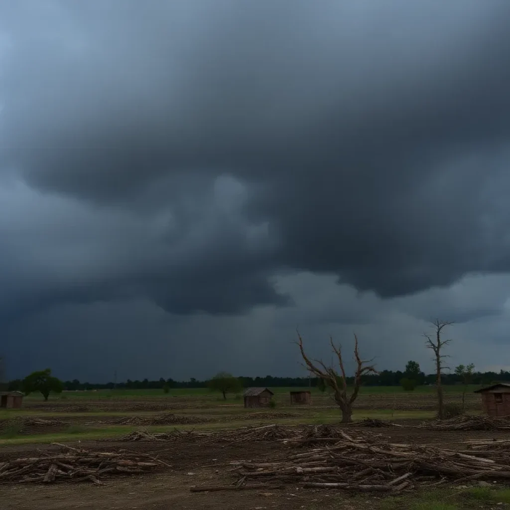
Severe Storms and Tornado Warnings Hit Charlotte Area
CHARLOTTE, N.C. — On Sunday morning, residents faced a dangerous weather situation as a severe line of thunderstorms rolled through the area, prompting multiple tornado warnings and causing significant damage. The first wave of storms arrived around 9 a.m., bringing heavy rainfall and strong winds to both North Carolina and South Carolina.
The Onset of Severe Weather
As the storms moved in, various tornado warnings were issued across the Charlotte region, indicating the severity of the weather conditions. By around 11 a.m., the threat level had decreased for areas within the Charlotte metro, yet moderate rain continued to affect visibility in the area. While there is a low chance for isolated storms later in the day, experts indicated that these events would not be as extensive or impactful.
Flood Warnings in Effect
In terms of flooding, a flood warning remained active for Watauga County until 4:15 p.m., due to ongoing heavy rainfall. Additionally, flood advisories were in effect for Ashe, Avery, Burke, and Caldwell counties until 3 p.m. The mountains appeared to be at the highest risk for flooding, as the storms moved rapidly through the region.
Power Outages and Disruptions
Power outages were widespread after the storms, affecting over 15,000 Duke Energy customers in Mecklenburg County alone. Across North Carolina and South Carolina, nearly 50,000 customers reported power interruptions. Emergency services urged residents to stay informed about the conditions and report any power outages promptly.
Travel Disruptions at Charlotte Douglas Airport
The severe weather significantly impacted air travel, with over 600 flight delays recorded at Charlotte Douglas International Airport on both Saturday and Sunday. Many travelers experienced frustrating delays, with some arriving hours late. Kasey Kane, a stranded traveler, described his situation: “Got delayed about two hours, two and a half I think, plus an hour layover is three hours.” Others, like William “Catfish” Marston, approached the situation with a more relaxed attitude, planning ahead for possible delays.
Flight Tracking and Further Delays
According to flight-tracking website FlightAware, as of 1 p.m. on Sunday, more than 650 flights had been delayed at the airport, with an additional 32 cancellations reported. Travelers anxiously awaited updates, knowing that their return home could be significantly delayed due to the inclement weather.
Continuing Weather Vigilance
As the day progressed, meteorologists continued to monitor the situation closely, advising residents to remain vigilant. While the immediate threat of severe weather subsided, moderate rain and the possibility of isolated storms lingered in the forecast.
Conclusion
The severe thunderstorms experienced on Sunday morning highlighted the importance of remaining weather aware and prepared. As the community begins to assess the damage and recover from the storm, local officials and emergency services are ensuring that those affected receive the support they need during this challenging time.


