News Summary
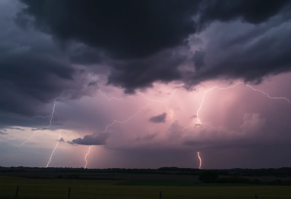
As spring unfolds in the Midlands, South Carolina, residents brace for severe weather, including thunderstorms and potential tornadoes. The region is currently experiencing its peak storm season, with significant threats anticipated in the coming days. Recent storms have caused heavy rainfall and strong winds. Tornadoes have historically impacted the Midlands, and current warnings indicate the possibility of damaging conditions. With the forecast predicting up to half an inch of rain and nuisance flooding, it’s crucial for residents to stay informed and prepared for the evolving weather situation.
Midlands Sees Severe Weather Season Peak with Thunderstorms and Tornado Threats
As spring blooms in the Midlands, South Carolina, so does the threat of severe weather. This time of year marks the peak of storm season, bringing along the possibility of not just heavy rainfall and strong winds, but also the exciting yet alarming potential for tornadoes. Residents are gearing up for what could be a wild ride, as forecasters anticipate a significant chance of severe conditions in the coming days.
Latest Storms and Conditions
Just recently, on a bustling Monday, severe thunderstorms rolled through the Midlands, knocking on doors with heavy rain, strong winds, and even hail. The storms are a reminder of the unpredictable nature of spring weather in this region. While tornadoes have been spotted across all 50 states, they are most prevalent in the Central Plains and southeastern parts of the U.S., including right here in the Midlands.
Understanding Tornado Patterns
In the Midlands, most tornadoes tend to be on the weaker side and short-lived. These spiral wonders typically make their appearance between March and May, although residents should remain aware that they can form at any time of the day or night throughout the year. The last confirmed tornado in the area was an EF-1 in Lexington County, near Chapin, just a couple of weeks ago.
Historically, the Midlands has experienced some notable tornado outbreaks:
- March 15, 2008: Several tornadoes, rated EF2 to EF3, wreaked havoc, causing an estimated $40 million in damages, particularly affecting Newberry, Kershaw, Aiken, and Orangeburg counties.
- March 3, 2019: A strong cold front triggered thunderstorms that produced six tornadoes, with four EF1s and two EF2s in the region.
- April 5-6, 2022: Another round of storms resulted in several tornadoes, including one EF1, three EF2s, and one EF3, showing just how fierce this weather can be.
Current Weather Warnings
Residents should prepare for the possibility of storms moving through the southern Midlands earlier in the day, around 1 p.m. The looming threat of severe weather could potentially lead to considerable damage to trees, mobile homes, roofs, outbuildings, and vehicles, not to mention the chance for downed power lines and outages caused by damaged trees.
What to Expect Next
With an 80% chance of rain and projections for up to half an inch of precipitation (with localized amounts potentially higher during thunderstorms), residents should be ready for the nuisance flooding that comes along with severe weather. Fortunately, conditions are expected to clear by Tuesday. Notably, temperatures are set to soar, peaking around 80 degrees on Monday before possibly climbing into the 90s later in the week.
However, don’t get too comfortable just yet! Additional showers may grace the area on Wednesday and Thursday. As always, it’s essential to stay informed and prepared when it comes to severe weather.
While the forecasts indicate that spring is bringing its fair share of storms, it’s all about staying tuned and taking care of one another during these unpredictable weather patterns. Stay safe, Midlands!
Deeper Dive: News & Info About This Topic
HERE Resources
Wildfires Rage Across the Carolinas: A State of Emergency Declared
Increased Security Measures at Irmo High School Amid Threat
Kentucky Faces Dangerous Tornado Outbreak
Severe Tornado Outbreak Creates Chaos Across the South and Midwest
Tragic Incident in Greenville: Young Woman Shot by Deputies
REAL ID Deadline Approaching for South Carolinians
Columbia Prepares for Severe Thunderstorm Alert
Deadly Storm System Devastates Midwest and Southeast
Myrtle Beach Faces Ominous Wildfires, State of Emergency Declared
Severe Thunderstorms and Tornadoes Expected This Weekend in Columbia
Additional Resources
- WLTX: Historical Tornado Outbreaks in Midlands SC
- Wikipedia: Tornado
- WACH: Severe Storms Threaten Midlands
- Google Search: Severe Weather Midlands South Carolina
- The State: Weather News
- Google Scholar: Tornado Outbreaks Midlands SC
- WIS TV: Today’s First Alert Weather Day
- Encyclopedia Britannica: Tornado
- Myrtle Beach Online: Weather News
- Google News: Tornadoes Midlands South Carolina


 Mays Contracting

