Forecast: Near Oppressive Humidity, Possibly Peaking at 100 Degrees Fahrenheit by Midday
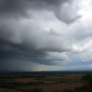
The dense humidity that residents have been enduring tonight is expected to reach nearly oppressive levels. Forecasters predict that by midday Sunday, the heat index will hover around the 100 degrees marker, significantly increasing discomfort levels. The weather outlook also suggests a slight chance of showers and thunderstorms into tomorrow evening.
Weather Outlook: Hot and Humid Night Ahead
Humidity levels tonight might creep up to sultry levels, but there appears to be a bit of relief for tomorrow as the heat returns, hitting the hotter 90s. However, when factoring in the effect of the humidity, it could feel no different from the oppressive 100-degree mark. The chance for showers and storms leans towards areas south and east of the city, though the overall chance remains low heading into the rest of tonight and tomorrow.
Potential for Thunderstorms and High Heat Unabated till Wednesday
Heat, humidity and thunderstorms are predicted to persist daily until a cold front moves in to provide some respite on Wednesday evening or Thursday. The upcoming weekdays could witness a minor threat of a few severe thunderstorms, but Wednesday is poised to bear the brunt of the severe storms as the front approaches. Ironically, while residents may be looking forward to a few non-severe storms to cool down and bring much-needed water, the heat index between Monday through Wednesday is projected to hit a high of 105-110 degrees.
Given Monday’s forecast of hot and humid conditions, the National Weather Service has issued an excessive heat watch, urging citizens to take precautionary measures and stay hydrated.
Looking back at the Heat Tracker
So far this year, there have been 24 90-degree days. These numbers dwarf the average year-to-date which generally records 16 such hot days. The yearly average usually hovers around 40. The most 90-degree days were in 1980 and 2010, both hitting the 67 mark, while the fewest were in 1886 and 1905, each with 7. Last year saw 38 such warm days. The city seems set to challenge these records with the impending heatwave.
Please note that this information is subject to change as the week progresses and weather updates become available.


