Preparations Underway in Florida as Potential Tropical Cyclone Nine Gears Up
Miami, FL – An area of thunderstorms in the Caribbean is on the brink of becoming a significant weather event, with forecasts indicating that it may soon develop into Hurricane Helene. Meteorologists at the National Hurricane Center are currently tracking this system, now referred to as Potential Tropical Cyclone Nine, and warn that it could rapidly intensify as it moves over the warmer waters of the Gulf of Mexico.
Expected Developments and Threat Levels
The hurricane center’s latest advisory stated that the system is expected to strengthen over the next few days, with predictions suggesting it could reach hurricane status by Wednesday and continue to gain strength on Thursday. There is a 90% chance of the system developing into a hurricane within the next 48 hours.
Tropical storm watches are already in effect for parts of Mexico and Cuba, while Florida’s Dry Tortugas and parts of the Keys have also been placed under a tropical storm watch as of Monday afternoon. Additional alerts for the U.S. Gulf Coast are anticipated in the coming days, with a potential landfall in Florida expected possibly as early as Thursday evening.
State of Emergency Declared
In response to the approaching storm, Florida Governor Ron DeSantis has declared a state of emergency for 41 of the state’s 67 counties. This declaration aims to facilitate quicker preparations and coordination between state and local officials.
Current Situation of Potential Tropical Cyclone Nine
Currently, Potential Tropical Cyclone Nine remains a disorganized system characterized by showers and thunderstorms in the far western Caribbean Sea. As the storm develops, it poses a risk of heavy rainfall and potential flooding across portions of Central America, Mexico, Cuba, and Jamaica.
The National Hurricane Center forecasts that Helene will track northward over the exceptionally warm waters of the Gulf of Mexico. This may quickly amplify its strength, leading to the possibility of it making landfall as a Category 3 hurricane. The phenomenon is becoming more probable as climate change continues to raise ocean temperatures.
Potential Impact Zones and Preparations
The insurance coverage and property risk in Florida have been strained, particularly since the last significant storm season. Helene’s imminent threat brings with it expectations of strong winds and storm surges, which can lead to dangerous and damaging conditions for coastal areas. As the storm approaches, rough seas and dangerous rip currents are also anticipated across the Gulf.
The National Hurricane Center suggests the central Gulf Coast, particularly Florida’s Big Bend region, may feel the first impacts, but areas from Florida’s Gulf Coast to eastern Louisiana are advised to remain vigilant. Forecast models are showing a gathering of tracks indicating increased confidence in a landfall along the eastern Gulf Coast later this week.
In proactive measures, Tampa General Hospital has begun erecting a 10-foot-high flood barrier around the facility, given its vulnerability to storm surges. This essential preparation will take three days for a dedicated team to finalize, and work will continue diligently unless the forecast becomes more favorable.
Risks of Heavy Rainfall and Flooding
Irrespective of the storm’s exact course, there is a risk of heavy rainfall affecting much of the Southeast starting midweek. The Weather Prediction Center has placed a level 2 of 4 risk of flooding rain for much of Florida, **Georgia**, **Alabama**, and parts of the Carolinas by Thursday.
Even after making landfall, Helene is likely to continue exerting its influence, bringing strong winds and flooded conditions to regions of Georgia and the Carolinas by Friday, which may lead to dangerous flooding and significant power outages.
Significance of Hurricane Helene’s Impact
If forecasts hold true, Helene would become the fourth hurricane to make landfall in the U.S. this year, joining the unfavorable trend that this hurricane season has already set. Additionally, if Helene is confirmed as a Category 3 hurricane at landfall, it would mark the first major hurricane to strike the U.S. since Idalia in August of last year.
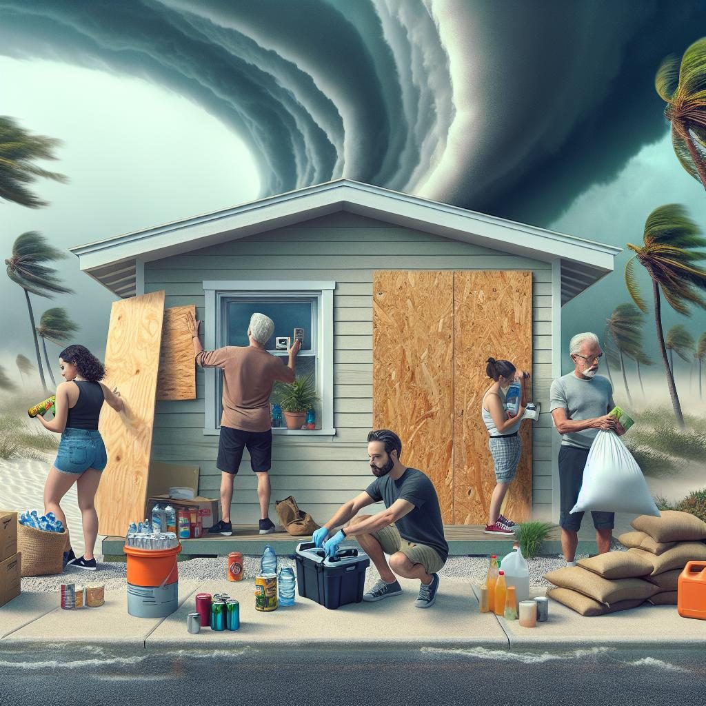
As the situation develops, locals are encouraged to stay informed and follow instructions from emergency services and local authorities to ensure their safety ahead of the storm.


